

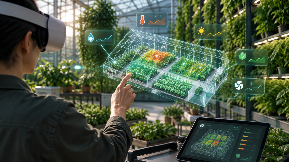
Plantect’s VR / Spatial Monitoring module is designed to help users understand plant health across larger and more complex environments in a more visual and intuitive way. Instead of reviewing long lists of alerts or separate sensor readings, users will be able to view plant conditions spatially across greenhouses, rooftops, living walls, public landscapes, or other managed green spaces. This gives users a clearer sense of where problems are developing, which zones need attention, and how different areas are performing in relation to each other.
This module is especially valuable for professional users who manage many plants, zones, or locations at once. Greenhouse operators can use spatial monitoring to identify stress patterns across growing beds. Landscaping teams can review site-level conditions before sending crews. Municipal teams can gain better visibility across distributed public green spaces. By turning plant health information into a visual environment, Plantect helps users make faster and more confident decisions without needing to interpret complex data manually.
As the platform develops, the VR / Spatial Monitoring module will support immersive walkthroughs, zone-level health overlays, anomaly mapping, and future care simulation tools. The goal is to make plant health management easier to understand at scale, especially in environments where physical inspection is time-consuming or incomplete. By combining real-time data with spatial visualization, Plantect gives users a more complete view of their growing environments and supports earlier, better-informed action.